
Magpie Mine
Legacy location #97.
Photos at this Location
Sun & Moon Positions
Sun and moon directions from your standing position
—
—
Milky Way
Kp 0.012.7 nT
Sun and moon lines start from the blue person (your standing point). Orange camera = photo location. Unlock the padlock, then drag the person or camera—or tap the map—to adjust positions (not saved).
Photography Planning
What3Words
Add an API key in Admin → API Keys to enable.
EXIF Data
2 photos with camera metadata
Photo EXIF Data
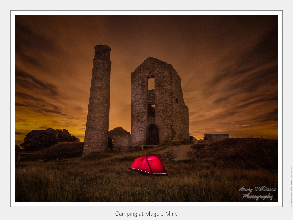
Camping at Magpie Mine
Camera: Canon EOS 5D Mark III
Date taken: 2018:07:22 17:27:04
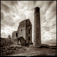
Magpie Mine
Camera: Canon EOS 5D Mark III
Date taken: 2017:01:07 12:24:47
Location Details
- Address: —
- Latitude / Longitude: 53.210384, -1.743264
- Grid Ref: SK1724468177
-
Added by:
 Craig
Craig
Drone restrictions
- Log in to see flight restriction zones for this location.
Tidal location
Loading tide times…
View Statistics
- Total views22
- Today3
- This week12
- This month22
Nearby Locations
- Chatsworth House 5.6 mi
- Parkhouse Hill 5.8 mi
- Chrome Hill 6.1 mi
- Peveril Castle 9.1 mi
- Winnats Pass 9.2 mi
Location Comment / Info (0)
Log in as a member to post a comment.
No comments or info yet.